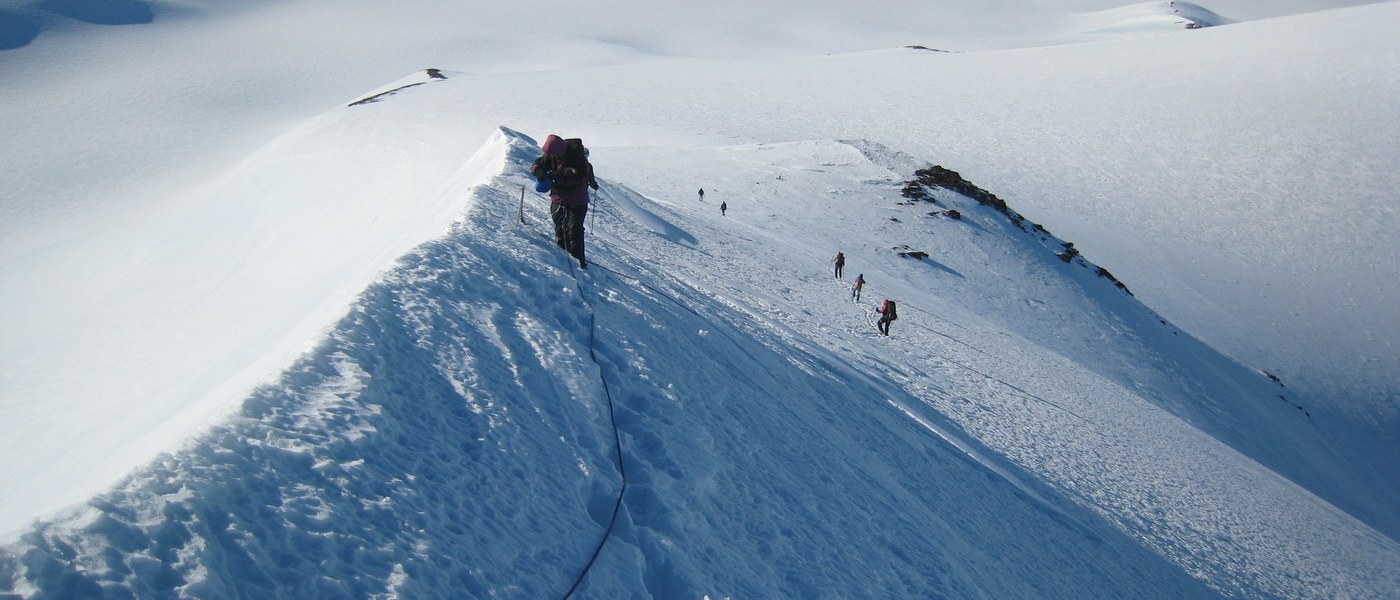
Backpacking Section (BPX) Educational Series - Learn how to navigate with GAIA GPS, Session 2
- Thu, Jul 17, 2025 from 06:00 PM to 08:30 PM
- Backpacking Section
- Denver
- iCal
| $0.00 | 25 (25 capacity) |
This is the second session of a two part series for Backpacking Section (BPX) Members (other CMC Members may be included if space permits). This Session is geared toward Trip Leaders.
Session 2: Trip Leaders
Open to all Session 1 students but now more focused on things a Trip Leader will find useful. This next level will also provide trip participants with a better understanding of how GAIA GPS works, and the additional functionality available.
Prerequisites:
- Session 1 is a prerequisite for Session 2 unless the attendee can demonstrate they are adept in all the skills covered in the first Session.
- At the start of this in-class session you will log into your GAIA GPS account using your laptop and your GAIA GPS app on your smartphone.
Using your laptop you will learn:
- How to create a Track that you intend to hike.
- How to determine the best driving route, distance, and time to the trailhead.
- How to export your Track as a GPX file which can be attached to an email.
- How to sync the laptop data to your smartphone so you are ready at the TH.
- How to create a repository on your laptop for all the many GPX files you collect.
- Finally, an assortment of best practices, tips, and hints.
Link here for a more detailed description.
_____________________________________________
Your seminar leader is Rich McAdams. Rich has served as School Director for WTS, BMS, HAMS, ASC, and currently Backcountry Incident Management School. He is a Wilderness First Responder and past member of Colorado El Paso County SAR. (Photo above is of Rich summiting Barbeau Peak (up by the North Pole) after 12 days of traveling by GPS)

