Vail Pass to Vail Traverse
This is an 18 mile traverse from Vail Pass to the town of Vail, typically done in winter as a ski traverse, but could be done in summer as well. There is approximately 3500 feet of elevation gain and 5800 feet of descent.
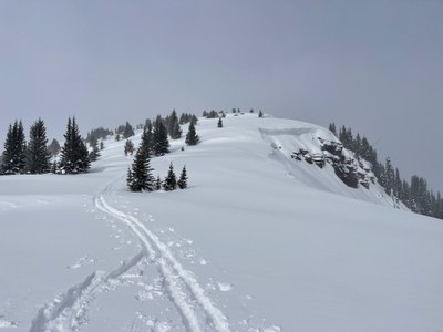
The route starts at the summit of Vail pass, and follows the mellow Shrine Pass Road. The route deviates from the road and begins to climb to the top of an unnamed 11710 ft peak then traverses along a ridgeline to the 11800 ft Red Benchmark peak. The Commando Runs ends with a long downhill eventually entering the Vail Ski Resort and ending in Vail. The route is approximately 18 miles long, but can be a little longer or shorter depending on the variations taken on the ridge line and through the ski resort. There is approximately 3500 feet of elevation gain and 5800 feet of descent.
- Suitable Activities: Backcountry Nordic Skiing, Backcountry Skiing/Splitboarding, Biking, Hiking, Nordic Skiing
- Seasons: Year-round
- Weather: View weather forecast
- Avalanche Terrain Rating Challenging View avalanche forecast.
- Difficulty: Difficult
- Length: 18.0 mi
- Elevation Gain: 3,500 ft
- 12,000 ft
-
Land Manager:
U.S. Forest Service
Holy Cross Ranger District (WRNF)
- Parking Permit Required: Vail Pass Winter Recreation Area Fee
- Recommended Party Size: 4
- Maximum Party Size: 12
- Maximum Route/Place Capacity: 12
This is a list of titles that represent the variations of trips you can take at this route/place. This includes side trips, extensions and peak combinations. Not seeing a title that fits your trip? Log in and send us updates, images, or resources.
- Commando Run Ski Traverse
- Commando Run
There are no resources for this route/place. Log in and send us updates, images, or resources.
