Ptarmigan Peak Trail
This 11.5 mile out-and-back trail starts at 9,080' (in Silverthorne) and climbs to Ptarmigan Peak at 12,498'. Total elevation gain is 3,611'. It is considered difficult.
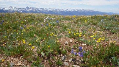
Ptarmigan Trail #35. From the trailhead follow signs to get through a residential area at the beginning. The trail goes through sagebrush, pine and aspen forests and alpine tundra. It enters the Ptarmigan Peak Wilderness Area around 4.2 miles. It passes through burn scars from the 2021 Ptarmigan Fire. There are views of the Gore Range, Ten Mile Range, Dillon Reservoir at different points on the trail.
- Suitable Activities: Camping, Hiking, Snowshoeing
- Seasons: Year-round
- Weather: View weather forecast
- View avalanche forecast.
- Length: 11.5 mi
- Elevation Gain: 3,611 ft
- 12,498 ft
-
Land Manager:
U.S. Forest Service
Ptarmigan Peak Wilderness Area, Dillon Ranger District (WRNF)
- Parking Permit Required: USFS Permits & Passes
- Recommended Party Size: 12
- Maximum Party Size: 15
- Maximum Route/Place Capacity: 15
There are no resources for this route/place. Log in and send us updates, images, or resources.
