Porcupine Gulch
7.3-mile out-and-back trail near Dillon, Colorado.
Starting point - Porcupine Gulch - Google Maps
Alternate Title:
Porcupine Gulch to Peak 12,701’ - 10 miles - 3200 ft elevation gain
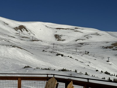
Hike up the gulch, take west fork to lookout, then to ridge, passing an abandoned gold mine, and along ridge to summit (aka top of Loveland Ski area Lift #6). Return via east fork of Porcupine Gulch.
- Suitable Activities: Hiking
- Seasons: Year-round, June, July, August, September
- Weather: View weather forecast
- Difficulty: Challenging
- Length: 10.0 mi
- Elevation Gain: 3,200 ft
- 12,701 ft
-
Land Manager:
Land Manager Varies
White River Field Office, Clear Creek Ranger District (ARNF)
- Parking Permit Required: Other
- Recommended Party Size: 12
- Maximum Party Size: 15
- Maximum Route/Place Capacity: 15
This is a list of titles that represent the variations of trips you can take at this route/place. This includes side trips, extensions and peak combinations. Not seeing a title that fits your trip? Log in and send us updates, images, or resources.
- Porcupine Gulch to Peak 12,701’
There are no resources for this route/place. Log in and send us updates, images, or resources.
