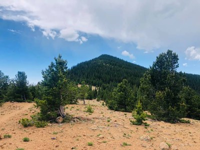
Mount Rosa
A moderate hike, 6.9 miles, with 1,755' elevation gain. From the trailhead, follow an OHV road to Frosty Park; from there the trail climbs to the 11,553" peak with a 360° view.
Named after Rose Kingsley, this peak is visible on the Colorado Springs mountain skyline. Drive to the trailhead at Penrose-Rosemont reservoir via Old Stage Rd / Gold Camp Rd. The hike starts along an OHV road to Frosty Park. The trail begins climbing from there, with a couple of false summits along the way. The top has beautiful all around views, including Pikes Peak, Almagre mountain, and Cheyenne mountain.
Location of trailhead - mount rosa trailhead - Google Maps
- Seasons: Year-round
- Weather: View weather forecast
- Difficulty: Moderate
- Length: 6.9 mi
- Elevation Gain: 1,755 ft
- 11,533 ft
-
Land Manager:
U.S. Forest Service
Pikes Peak Ranger District (PSINF)
- Parking Permit Required: USFS Permits & Passes
- Recommended Party Size: 12
- Maximum Party Size: 15
- Maximum Route/Place Capacity: 15
There are no resources for this route/place. Log in and send us updates, images, or resources.
