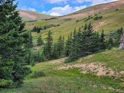
Mount Machebeuf
Mount Machebeuf is a 12,799 peak near Woods Mountain. Routes to reach it are either up Watrous Gulch or up Herman Gulch. 9 miles RT and 2684 elevation gain.
The trails both ways are easy to follow, some off trail traversing at the top is optional.
- Suitable Activities: Hiking
- Seasons: June, July, August, September, October, November
- Weather: View weather forecast
- Avalanche Terrain Rating Simple View avalanche forecast.
- Difficulty: Easy C
- Length: 9.0 mi
- Elevation Gain: 2,684 ft
- 12,799 ft
-
Land Manager:
U.S. Forest Service
Clear Creek Ranger District (ARNF)
- Parking Permit Required: USFS Permits & Passes
- Recommended Party Size: 12
- Maximum Party Size: 12
- Maximum Route/Place Capacity: 12
There are no resources for this route/place. Log in and send us updates, images, or resources.
