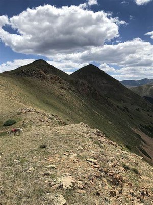
Mount Bethel
Experience this out-and-back trail near Silver Plume, Colorado. Generally considered a challenging route.
For further information and any restrictions see: Mount Bethel : Climbing, Hiking & Mountaineering : SummitPost
Directions to parking lot: Mt Bethel - Google Maps
To review the Trip Leader Checklist see: Shared R:P+Trip Leader Activity Checklists - Google Docs
- Suitable Activities: Climbing, Hiking, Scrambling
- Climbing Category: Intermediate Alpine Climb
- Seasons: Year-round
- Weather: View weather forecast
- Difficulty: Difficult C
- Length: 4.6 mi
- Elevation Gain: 2,168 ft
- 12,705 ft
-
Land Manager:
U.S. Forest Service
Clear Creek Ranger District (ARNF)
- Parking Permit Required: USFS Permits & Passes
- Recommended Party Size: 10
- Maximum Party Size: 12
- Maximum Route/Place Capacity: 12
There are no resources for this route/place. Log in and send us updates, images, or resources.
