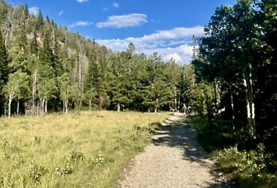
Middle St Vrain Trail
Ski tour on trail past Camp Dick and up valley of Middle Saint Vrain River. Return on trail. This makes for a approximately 9.5 mile loop with 1,331 ft of elevation gain.
The trailhead is accessed from the back of the Camp Dick Campground parking area.
- Suitable Activities: Backcountry Nordic Skiing
- Snowshoeing Category: Intermediate
- Seasons: Year-round
- Weather: View weather forecast
- Avalanche Terrain Rating Simple
- Difficulty: Easy to Moderate, Easy to Moderate
- Length: 6.2 mi
- Elevation Gain: 702 ft
- 9,421 ft
-
Land Manager:
Boulder
Indian Peaks Wilderness Area, Boulder Ranger District (ARNF)
- Parking Permit Required: Other
- Recommended Party Size: 12
- Maximum Party Size: 12
- Maximum Route/Place Capacity: 8
There are no resources for this route/place. Log in and send us updates, images, or resources.
