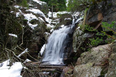
Maxwell Falls
Maxwell Falls is an open space trail system located in the Arapaho and Roosevelt National Forests (Evergreen, CO.)
For further information and any restrictions see: Arapaho & Roosevelt National Forests Pawnee National Grassland - Maxwell Falls Lower (#111) (usda.gov)
Directions to trailhead: maxwell falls trailhead - Google Maps
One of the easiest trails in the district, Maxwell Falls is a very enjoyable hike. It follows Maxwell Creek, and the waterfalls are at their best in the spring when the snow runoff is plentiful. Jefferson County law requires dogs be on a leash at all times while on this trail.
- Suitable Activities: Climbing, Hiking, Scrambling
- Seasons: Year-round
- Weather: View weather forecast
- View avalanche forecast.
-
Land Manager:
U.S. Forest Service
Clear Creek Ranger District (ARNF)
- Parking Permit Required: USFS Permits & Passes
- Recommended Party Size: 12
- Maximum Party Size: 12
- Maximum Route/Place Capacity: 12
There are no resources for this route/place. Log in and send us updates, images, or resources.
