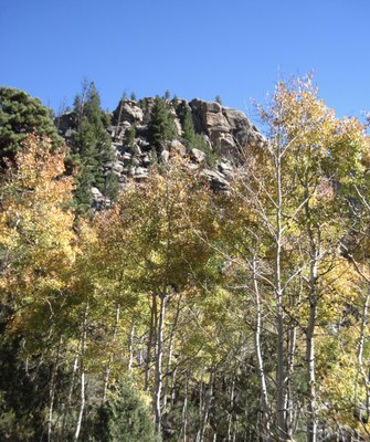
Elkhorn Creek Trail
The Elkhorn Creek area of Red Feather Lakes has a variety of trails of moderate length and elevation gain.
For further information and any restrictions see: Arapaho & Roosevelt National Forests Pawnee National Grassland - Home (usda.gov)
Directions to trailhead: Elkhorn Creek Trailhead - National Forest Service - Google Maps
The Elkhorn Creek trailhead in the Red Feather Lakes area is accessed from highway 287 north of Fort Collins, turning left on Red Feather Lakes Road, 74E, then left again on Boy Scout Road, 68C. The area includes a number of developed trails such as the Molly Lake Trail, the Granite Ridge Trail, and the Disappointment Falls Trail. Average elevation is about 8,000 feet. The area features many rock outcrops and meadows to explore. Maps: National Geographic/Trails Illustrated 101, 111.
- Suitable Activities: Hiking
- Seasons: Year-round
- Weather: View weather forecast
- Length: 5.0 mi
- Elevation Gain: 410 ft
- 8,500 ft
-
Land Manager:
U.S. Forest Service
Canyon Lakes Ranger District (ARNF)
- Parking Permit Required: USFS Permits & Passes
- Recommended Party Size: 10
- Maximum Party Size: 12
- Maximum Route/Place Capacity: 12
There are no resources for this route/place. Log in and send us updates, images, or resources.
