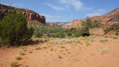
Dominguez Canyon Trail
We will be hiking along the Gunnison River and into Dominguez Canyon where petroglyphs can be seen. Round trip distance is 9 miles with 800 feet elevation gain. Rating moderate.
This hike follows the Gunnison River to Dominguez Canyon where it enters red sandstone canyons, mudstone cliffs and jagged black bedrock. We will hike to Cactus Park, where an abandoned gold mine exists, returning to the trailhead on the same route. During the hike petroglyphs up to 2000 years old can be seen as well as a waterfall. Desert Big Horn Sheep are often seen in this canyon.
- Suitable Activities: Hiking
- Seasons: Year-round
- Weather: View weather forecast
- Length: 9.0 mi
- Elevation Gain: 800 ft
- 5,620 ft
-
Land Manager:
Bureau of Land Management
Dominguez Canyon Wilderness
- Parking Permit Required: BLM Permits & Passes
- Recommended Party Size: 12
- Maximum Party Size: 12
- Maximum Route/Place Capacity: 12
- AllTrails
There are no resources for this route/place. Log in and send us updates, images, or resources.
