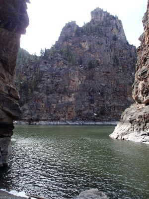
Curecanti Creek Trail
This is 4-mile RT, 900' elevation gain, Moderate B hike. It's in the Curecanti National Recreation Area between Montrose and Gunnison.
From the NPS website: "After descending from the high rim of the Upper Black Canyon of the Gunnison, the trail follows Curecanti Creek as it falls toward Morrow Point Reservoir. The Curecanti Needle, a 700 ft. granite spire, towers above at the trail's end." The elevation gain is on the return back to the parking lot. See www.gjhikes.com for more info.
- Suitable Activities: Hiking
- Seasons: April, May, June, July, August, September, October
- Weather: View weather forecast
- Difficulty: Mod B
- Length: 4.0 mi
- Elevation Gain: 900 ft
- Land Manager: National Park Service
- Parking Permit Required: National Park Entrance Fees
- Recommended Party Size: 12
- Maximum Party Size: 12
- Maximum Route/Place Capacity: 12
There are no resources for this route/place. Log in and send us updates, images, or resources.
