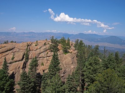
Castle Peak
Castle Peak 11,240’. This is not the 14'er Castle Peak near Aspen but a smaller peak north of I-70 near Eagle, within the Castle Peak Wilderness Study Area.
The Castle Peak Wilderness Study Area is a semi-primitive backcountry area with no facilities. No motorized activity is allowed within the WSA to help preserve erosive soils, wildlife, scenic values, water quality and cultural resources.
Multiple routes are available from all directions to the peak but the access points closest to I-70 are along BLM 8511:
The Poison Trail. The TH is at: 39.775748300891316, -106.78965432823728. 7 miles 1800' gain.
Where Eby Creek enters the Study Area 39.77573914601111, -106.78961206841333
Location of TH - 39°46'32.7"N 106°47'22.8"W - Google Maps
- Seasons: June, July, August, September, October
- Weather: View weather forecast
- Avalanche Terrain Rating Challenging View avalanche forecast.
- Length: 7.0 mi
- Elevation Gain: 1,800 ft
- 11,240 ft
- Land Manager: Bureau of Land Management
- Parking Permit Required: BLM Permits & Passes
- Recommended Party Size: 12
- Maximum Party Size: 12
- Maximum Route/Place Capacity: 15
- COTREX
- AllTrails
There are no resources for this route/place. Log in and send us updates, images, or resources.
