Trip
RMOTHG Trip – North Tenmile Creek Trail
Snowshoe along scenic North 10-Mile Creek to the boundary of Eagles Nest Wilderness Area
- Mon, Feb 10, 2025
- Rocky Mountain Over the Hill Gang
- Snowshoeing
- Adults
- Moderate
- Moderate
- Mileage: 5.9 mi
- Elevation Gain: 800 ft
- High Point Elevation: 9,705 ft
- Pace: 1.5 mph
- FULL, 3 on waitlist (11 capacity)
- Cancellation & Refund Policy
We will meet at 7:45 AM on Feb 10th at Wooly Mammoth Park & Ride, Section BB for a no later than 8:00 AM departure. The Google Map location for Wooly Mammoth is HERE (click to open). We will make a brief stop on the way to the trailhead at Downieville.
Please call the morning of the trip if you are running late: 303-519-0364
The driving distance to the trailhead is 58 miles one way (116 miles round trip). The driver reimbursement is $35 per carload to be divided evenly among the riders. ($0.3 x 116 = $34.8)
We will drive west on I-70 to Main Street in Frisco, making a brief stop along the way at Downieville for a restroom break. The trailhead is just north of I-70 at the Frisco Main Street exit. Our turnaround point will be the boundary for the Eagles Nest Wilderness about 3 miles along the trail and at an elevation of about 9700 ft. We will retrace our path back to the cars. (FYI - the parking lot elevation is approximately 9150 feet.)
Trip distance is approximately 6.0 miles with 800 feet of elevation gain.
Our anticipated pace will be moderate, described as 1.4 - 1.6 miles per hour, BUT our actual pace will be adjusted to accommodate all participants as needed.
I'll provide a weather forecast 2 days before the trip.
The CalTopo gps track for this trip is: https://caltopo.com/m/0KH4Uin case you are interested in entering it on your cell phone, Garmin or other handheld device.
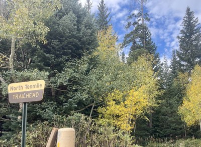
North Tenmile Creek Trail
-
caltopo
AllTrails
gaiagps
national geographic - See full route/place details.
Required Equipment
The following is a standard message from RMOTHG Leadership:
$15 annual RMOTHG Membership Dues are required to participate. Please contact the office at 303-279-3080 ext. 3 or office@cmc.org to join!
