Trip
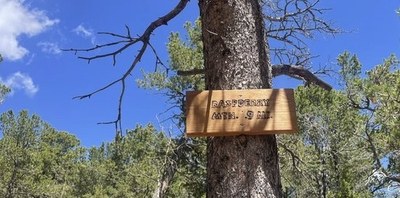
Hiking – Raspberry Mountain
Raspberry Mountain trail is a beautiful hike that features an amazing view of Pikes Peak and its surrounding reservoirs, as well as scenic vistas, dense forests, and a seasonal creek. A casual/social hike of 6.4 miles and 836 feet of elevation gain.
- Sat, Aug 12, 2023
- Pikes Peak
- Hiking
- Adults
- Moderate
- Moderate
- Mileage: 6.4 mi
- Elevation Gain: 836 ft
- High Point Elevation: 10,563 ft
- Pace: 1.5-2.0 mph
- 2 (6 capacity)
- Cancellation & Refund Policy
Register with leader Christie Lee (719) 243-1821 / christie80905@gmail.com
Join us in a fun and casual hike to enjoy great views of Pikes Peak and the surrounding area.
Trail Info
https://www.alltrails.com/trail/us/colorado/raspberry-mountain-trail-via-ring-the-peak-trail
https://www.hikingproject.com/trail/7042114/raspberry-mountain-trail
http://www.cospringstrails.com/hikes/raspberry.html
Register with leader Christie Lee (719) 243-1821 / christie80905@gmail.com
Meet at the Raspberry Mountain Trailhead at 7:00am
Raspberry Mountain Trailhead
456-798 Teller Co Rd 62, Divide, CO 80814
Google Map https://goo.gl/maps/oTyNMx93rJvY3gY37
From Divide, head south on Colorado Highway 67, pass the entrance to Mueller State Park, and shortly after turn left turn towards the Crags Campground on Teller County Road 62 (CR62). Follow this road to the Mennonite Camp where you should turn right onto FS 383. Continue to the trailhead in an open area on your left. If you get to the campground, you have gone too far.
Required Equipment
Check the weather and have gear, food, and water suitable for the day.
