Trip
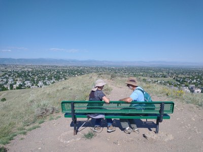
Hiking – Bluffs Regional Park
We will start from the Bluffs Regional Park trailhead (on the East side of park) and head West and up to the top and do the mesas. Then we will take the East/West trail (East) and the Lonehenge trail to an interesting ridgeline highpoint and view. At the end of the trail is a stone structure assembled similarly to Stonehenge . We will make a circle coming back. This will be a spike hike depending on packed snow conditions. See https://www.hikingproject.com/trail/7066849/lonehenge-trail
- Thu, Feb 13, 2025
- Rocky Mountain Over the Hill Gang
- Hiking
- Adults
- Easy
- Easy
- Mileage: 4.5 mi
- Elevation Gain: 450 ft
- Pace: 1.5 mph
- 12 (11 capacity)
- Cancellation & Refund Policy
We will meet at the trail head on the East side of the park at 8:30 a.m.
Bluffs Regional Park is in Douglas County, south of Denver.
From I-25 and Lincoln, go West on Lincoln 4 stoplights to Ridgegate/Yosemite.
Turn left (south) and go a very short distance to Crooked Stick Trail (road name)
and turn right. This road will dead end at the trail head.
Required Equipment
TK
