Trip
Backpack – BPX Backpack, Camp Lake/Rawah Wilderness Area - 3-day Loop
BPX Backpack, Camp Lake/Rawah Wilderness Area - 3-day Loop
- Fri, Aug 19, 2022 — Sun, Aug 21, 2022
- Backpacking Section
- Backpacking
- Adults
- Moderate
- Mileage: 18.0 mi
- Elevation Gain: 3,200 ft
- 7 (6 capacity)
- Cancellation & Refund Policy
Meeting location and carpooling information TBD.
Driving Directions:
From Denver area, drive north on I-25 to Ft. Collins, 52 miles on CO 14 to Laramie River Rd (CR 103,) north about 6 miles to the West Branch Trail Head parking on the left just past Tunnel Campground. One way driving distance is 150 miles and 3.5 hours.
Contact leader to register. A few sentences about your backpacking experience would be appreciated. This trip is a good fit if you have completed a couple multi-day backpacks in the past.
Note: This area was unaffected by the Cameron Peak fire, but it will be tentative until access is confirmed with the Forest Service.
The trip Leader's dog will be accompanying us on the trip. He is a well-behaved working dog and rarely barks.
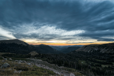
Located in the southern Medicine Bow Mountain Range, in north central Colorado, Rawah Wilderness was one of the five initial wilderness areas created in 1964. “Rawah” is a Native American term meaning “wild place.” The Rawahs are host to elk, moose, mule deer, black bear, bighorn sheep, marmot and beaver. The high peaks were carved by glaciers, resulting in spectacular cirque lakes and moraines. This trip will visit four or five lakes with great fishing.
Itinerary:
Day 1 – Drive to West Branch Trailhead. Hike west on the West Branch Trail (960) to intersection with Rawah Trail (961). Make camp near water on the North Fork West Branch Laramie River at approximately 10,000 feet. (4.2 miles/1,400’ gain).
Day 2 – Hike west over saddle at 11,200 feet and and descend to Rawah and Sandbar Lakes area for lunch and fishing then Camp Lake Trail (968) approximately 1 mile and make camp west side of Camp Lake at 10,500 feet. (5.4 miles/1,500’ gain).
Day 3 – Continue on Camp Lake trail around lake and east bearing right and south to descend back to West Branch trail and return to cars at starting trailhead. (7.7 miles/300' gain).
Map: https://caltopo.com/map.html#ll=40.67143,-105.85918&z=14&b=f16a
BPX is a community of backpackers who respect, trust, help each other, and honor our commitments. By registering for this trip, you are committing to going on the trip and will cancel only for a true emergency. And if absolutely necessary, you agree to cancel as early as possible so another member may take your place on the trip.
"JOIN THE PACK"
CMC BACKPACKING SECTION (BPX)
https://cmcdenver.org/specialinterests/denver-backpacking-section-bpx
COVID-19 and Colorado Mountain Club Programming
Required Equipment
.
